NASA eyes powerful Hurricane Gaston almost 600 miles from Bermuda

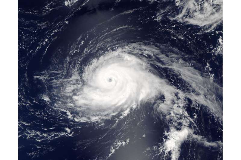
NASA's Aqua satellite passed over Hurricane Gaston as it was strengthening into a major hurricane, almost 600 miles away from Bermuda in the Atlantic Ocean. Aqua provided a visible look at the powerful hurricane.
On Aug. 28 at 12:45 p.m. EDT (1645 UTC) the Moderate Resolution Imaging Spectroradiometer or MODIS instrument that flies aboard NASA's Aqua satellite captured a visible image of Hurricane Gaston. At the time, Gaston had maximum sustained winds near 105 mph and was a Category 2 hurricane on the Saffir-Simpson Hurricane Wind Scale. Gaston had developed a clear eye about 15 nautical miles wide that was surrounded by powerful thunderstorms. The storm later strengthened into a major hurricane.
At 5 a.m. EDT (0900 UTC) on Monday, Aug. 29 the center of Hurricane Gaston was located near 30.8 degrees north latitude and 55.2 degrees west longitude. Gaston is about 575 miles (925 km) east of Bermuda.
The National Hurricane Center (NHC) said that Gaston is currently drifting northward. A turn toward the northeast and a faster forward speed are expected later today, Aug. 29 or tonight, and an east-northeastward motion is expected on Tuesday. Maximum sustained winds have decreased to near 115 mph (185 kph) with higher gusts. Gaston is a category 3 hurricane on the Saffir-Simpson Hurricane Wind Scale. Additional slow weakening is forecast during the next 48 hours. The estimated minimum central pressure is 960 millibars.
NHC Forecaster Jack Beven stated in the 5 a.m. NHC Discussion, "Gaston remains a well-organized hurricane. However, the satellite appearance is slightly less impressive than 6 hours ago, with the eye becoming less distinct and the deep convection eroding in the northwestern quadrant."
By 5 a.m. EDT on Tuesday, Aug. 30, Gaston is expected to move over decreasing sea surface temperatures and into increasing vertical wind shear. Both of those factors should cause a gradual weakening.
Provided by NASA's Goddard Space Flight Center


