Using machine learning for rewilding

There may not be an obvious connection between rewilding and machine learning, but as highlighted today at ESA's ɸ-week, a project in the Netherlands uses satellite data and new digital technology to understand how a nature reserve responds to the pressure of being grazed by herbivores.
As Earth's land continues to be scarred by human activity, rewilding is a progressive approach to conservation. The philosophy is to allow natural processes repair damaged ecosystems and restore degraded landscapes.
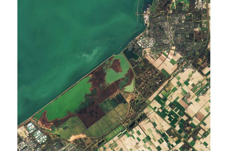
The Netherlands is one of the most densely populated countries in the world, but even here rewilding efforts are taking place. The Oostvadersplassen, for example, is a nature reserve close to Amsterdam and an experimental site for rewilding.
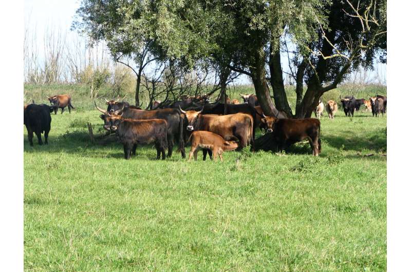
Covering 56 sq km, this polder was created in 1968 as a haven for birds, but large herbivores were later introduced to reduced shrub cover.
Through a project run by the Institute of Environmental Sciences at the University of Leiden, scientists are investigating how these animals have changed the vegetation cover the last two decades and are developing tools to help the park management with their decision-making for the future.
The question is whether remote sensing can be used to monitor vegetation changes brought about by animal behavior, and indeed, whether rewilding improves the functioning of an ecosystem.

Nuno Cesar De Sa from Leiden University explains, "I am interested in developing remote-sensing methods to capture the 'plasticity' of vegetation species—so traits such as plant height and leaf size—with respect to herbivore pressure.
"Remote sensing is extremely important and I mainly use data from the Copernicus Sentinel-2 mission as well as from the US Landsat. I also have in situ cameras to monitor animal behavior and to monitor the phenology of the grassland.
"Most studies of vegetation change are just that, but my research involves linking vegetation change to animal behavior. And to do this, I am developing machine learning that links everything together. "
The idea is, in the near future, to apply the same research processes to other sites around the world. Mr Cesar De Sa concludes, "Rewilding is a great concept and one that will hopefully offer richer ecosystems for future generations."
Provided by European Space Agency


