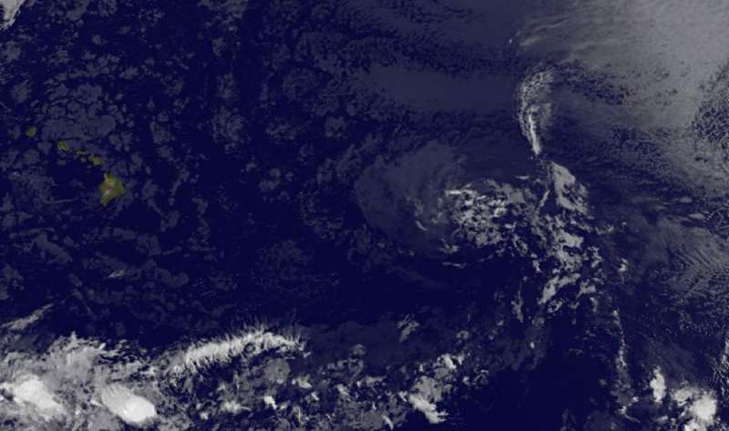
Satellite sees Tropical Depression Greg as a ghostly swirl of clouds

Tropical Depression Greg appears as a ghostly swirl of low clouds on satellite imagery from NOAA's GOES-West satellite on July 27.
NOAA's GOES-West satellite captured an infrared image of Greg on July 26 at 11 a.m. EDT (1500 UTC). The image showed that Greg's circulation consists of a tight swirl of low clouds with a few small patches of deep convection. Strong vertical wind shear is affecting Greg now, pushing the clouds away from the center of circulation.
The National Hurricane Center (NHC) noted at 11 a.m. EDT (1500 UTC), the center of Tropical Depression Greg was located near 18.1 degrees north latitude and 141.0 degrees west longitude. It was about 965 miles (1,550 km) east of South Point, Hawaii.
The depression was moving toward the west near 12 mph (19 kph), and this motion is expected to continue today and Thursday, July 27. Maximum sustained winds are near 30 mph (45 kph) with higher gusts.
Greg is forecast to become a remnant low later today.
Provided by NASA's Goddard Space Flight Center


