NASA satellites see Tropical Storm Muifa in Northwestern Pacific Ocean

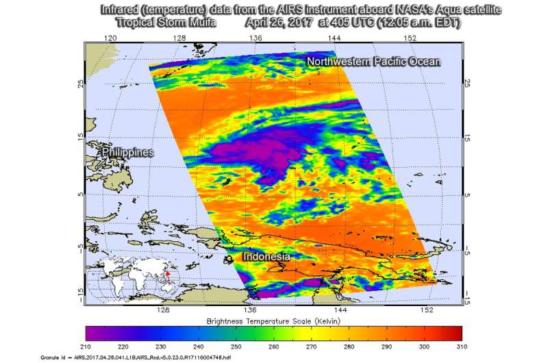
Tropical Storm Muifa continued to move through the open waters of the Northwestern Pacific Ocean as NASA's Aqua satellite gathered temperature data on the storm.
The AIRS instrument or Atmospheric Infrared Sounder that flies aboard NASA's Aqua satellite provided an infrared look at Tropical Storm Muifa on April 26 at 0405 UTC (12:05 a.m. EDT). Infrared data from AIRS measures temperatures and found some cloud top temperatures about 210 kelvin (minus 81.6 degrees Fahrenheit/minus 63.1 degrees Celsius), indicating very strong storms, very high in the troposphere. Storms with cloud tops that high have been shown to generate heavy rainfall.
At 1500 UTC (11 a.m. EST) on April 26, the Joint Typhoon Warning Center or JTWC said Muifa was located near 14.2 degrees north latitude and 134.1 degrees east longitude, about 754 nautical miles south-southwest of Iwo To, Japan. Muifa was moving to the north-northwest at 6 knots (6.9 mph/11.1 kph) and had maximum sustained winds near 40 knots (46 mph/74 kph).
JTWC said that Muifa is moving north and will peak at 45 knots, then turn northeast and quickly weaken.
Provided by NASA's Goddard Space Flight Center


