Researchers capture impressive tornadic data and images

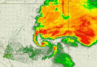
At the University of Oklahoma, researchers captured unprecedented high-resolution radar data during the May 10, 2010, tornadoes using one of the most advanced weather radars in the world.
"This unique polarimetric data set is likely to reveal new discoveries about tornado genesis and severe storms for years to come," said the Director of OU's Atmospheric Radar Research Center, Robert D. Palmer.
Palmer's team is currently processing the data using advanced techniques developed at OU and preparing it for distribution.
"The close proximity of the tornadoes to the OU radar has produced data with fine details of the storms never seen before with any radar."

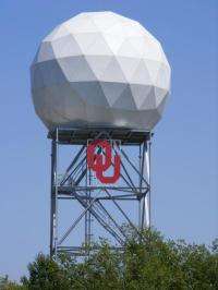
Located on the OU Research Campus within walking distance of the National Weather Center, the C-band, polarimetric, research weather radar known as OU-PRIME (Polarimetric Radar for Innovations in Meteorology and Engineering) was built to provide OU students and faculty with a platform for research and education in the field of radar meteorology.
Provided by University of Oklahoma


